Mesh Processing Strategies and Fractals for Three Dimensional Morphological Analysis of a Granitic Terrain using IRS LISS IV and Carto DEM

PubDate: Jul 2020
Teams: National Remote Sensing Centre;
Writers: K. Seshadri, M. Naresh Kumar
Abstract
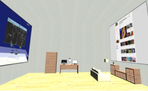
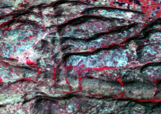
Virtual Reality (VR) enabled applications are becoming very important to visualize the terrain features in 3D. In general 3D datasets generated from high-resolution satellites and DEM occupy large volumes of data. However, lightweight datasets are required to create better user experiences on VR platforms. So, the present study develops a methodology to generate datasets compatible with VR using Indian Remote Sensing satellite (IRS) sensors. A Linear Imaging Self-Scanning System - IV (LISS IV) with 5.8 m spatial resolution and Carto DEM are used for generating the 3D view using the Arc environment and then converted into virtual reality modeling language (VRML) format. In order to reduce the volume of the VRML dataset a quadratic edge collapse decimation method is applied which reduces the number of faces in the mesh while preserving the boundary and/or normal. A granitic terrain in the south-west part of Hyderabad comprising of dyke intrusion is considered for the generation of 3D VR dataset, as it has high elevation differences thus rendering it most suitable for the present study. Further, the enhanced geomorphological features such as hills and valleys, geological structures such as fractures, intrusive (dykes) are studied and found suitable for better interpretation.