GeoGate: Correlating Geo-Temporal Datasets Using an Augmented Reality Space-Time Cube and Tangible Interactions
PubDate: August 2019
Teams: University of South Australia
Writers: Seung Youb Ssin; James A. Walsh; Ross T. Smith; Andrew Cunningham; Bruce H. Thomas

Abstract
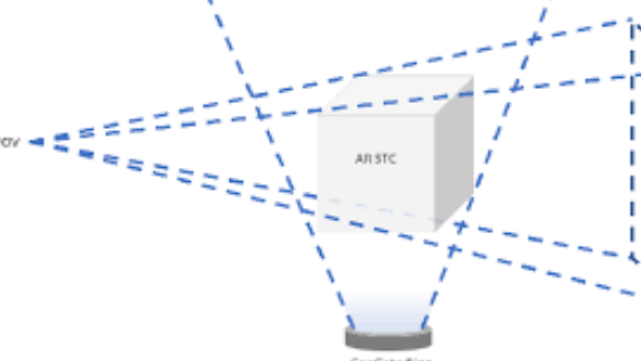
This paper introduces GeoGate, an Augmented Reality tabletop system that extends the Space-Time Cube and utilizes a ring-shaped tangible user interface to explore correlations between entities in multiple location datasets. We demonstrate GeoGate in the context of the maritime domain, where operators seek to find geo-temporal associations between trajectories recorded from a global positioning system, and light data extracted from night time satellite images. GeoGate utilizes a tabletop system displaying a traditional 2D map in conjunction with a Microsoft Hololens to present a single view of the data with a novel Augmented Reality extension of the Space-Time Cube. To validate GeoGate, we present the results of a user study comparing GeoGate with the existing 2D approach used in a normal desktop environment. The outcomes of the user study show that GeoGate’s approach reduces mistakes in the interpretation of the correlations between various datasets, while the qualitative results show that such a system is preferable for the majority of geo-temporal maritime tasks compared.


