A virtual reality map interface for geographical information systems
Note: We don't have the ability to review paper
PubDate: May 2018
Teams: Universidad Carlos III de Madrid
Writers: Andrés Santos;Telmo Zarraonandia;Paloma Díaz;Ignacio Aedo
PDF: A virtual reality map interface for geographical information systems

Abstract
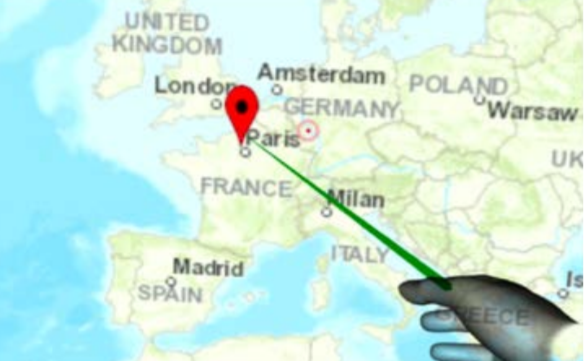
The Virtual Reality (VR) technology offers new possibilities to implement Geographical Information Systems (GIS), allowing the user to visualize and interact with map interfaces in more natural and immersive way. Moreover, they can provide the user with a wide field of view similar to the one obtained when using large displays. In this paper, we present a VR application that allows the user to display and interact with a GIS map using different types of interaction modalities.


