Analysing Forests Using Dense Point Clouds

PubDate: February 2019
Teams: Computer Science and Software Engineering;University of Canterbury
Writers: David Lee; William Muir; Samuel Beeston; Samuel Bates; Sam D. Schofield; Matthew J. Edwards; Richard D. Green
PDF: Analysing Forests Using Dense Point Clouds
Abstract
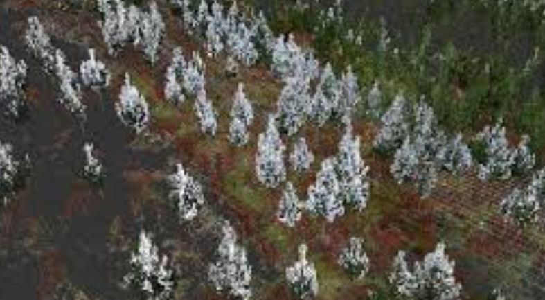
A novel method is proposed to acquire tree metrics for forestry managers in New Zealand. This method involves using a UAV to capture images of trees, and then using photogrammetry to generate a 3D model which includes both a mesh and a point cloud. The point cloud is then analysed, and data and metrics are extracted. Once the metrics have been extracted, they are saved for analysis and exported to a virtual reality (VR) environment. The VR environment will allow end users to remotely interact with sections of forest replicated with photogrammetry and visualise the metrics created through point cloud analysis.